Where is Monroe County, Wisconsin?
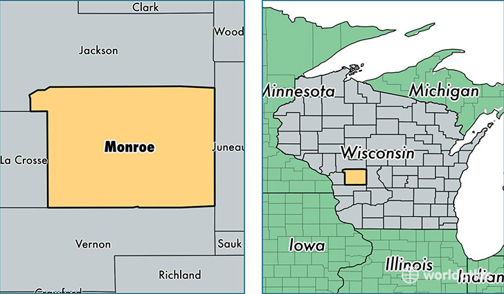
Monroe County is a county equivalent area found in Wisconsin, USA. The county government of Monroe is found in the county seat of Sparta.
With a total 2,351.93 sq. km of land and water area, Monroe County, Wisconsin is the 927th largest county equivalent area in the United States. Home to 45,379 people, Monroe County has a total 19394 households earning 49774 on average per year.
Monroe County, Wisconsin - Quick Facts
| FIPS Code | 55081 |
| Area Codes | 608 |
| Time Zone | CST |
| Major Cities | Sparta (population: 17,543), Tomah (population: 15,837), Cashton (population: 3,966), Warrens (population: 2,613), Wilton (population: 1,895), Norwalk (population: 1,753), Kendall (population: 1,501) |
| Land Area | 17,521 sq miles |
| Water Area | 901 sq miles |
| Household Income | $49,774 |
| Housing Units | 19,394 |
| Median Home Value | $135,300 |
| High School Grads | 88% of population |
| Holders of Bachelors Degrees | 17% of population |
| Retail Spending | $11,657 per capita |
| Food & Accomodation Sales | $71,449 per capita |
This page was last updated on June 30, 2016.