Where is Fluvanna County, Virginia?
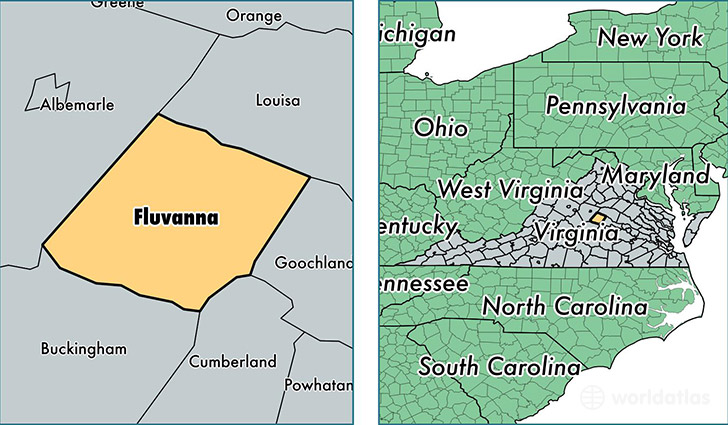
Fluvanna County is a county equivalent area found in Virginia, USA. The county government of Fluvanna is found in the county seat of Palmyra.
With a total 751.48 sq. km of land and water area, Fluvanna County, Virginia is the 2860th largest county equivalent area in the United States. Home to 26,092 people, Fluvanna County has a total 10566 households earning 68288 on average per year.
Fluvanna County, Virginia - Quick Facts
| FIPS Code | 51065 |
| Area Codes | 434 |
| Time Zone | EST |
| Major Cities | Palmyra (population: 15,566), Troy (population: 5,449), Kents Store (population: 1,805), Bremo Bluff (population: 939), Fork Union (population: 924) |
| Land Area | 10,074 sq miles |
| Water Area | 286 sq miles |
| Household Income | $68,288 |
| Housing Units | 10,566 |
| Median Home Value | $225,700 |
| High School Grads | 86% of population |
| Holders of Bachelors Degrees | 29% of population |
| Retail Spending | $3,144 per capita |
| Food & Accomodation Sales | $11,945 per capita |
This page was last updated on June 30, 2016.