Where is Appomattox County, Virginia?
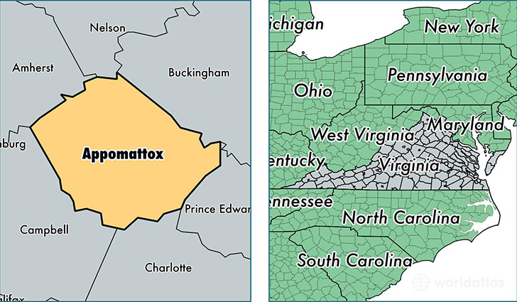
Appomattox County is a county equivalent area found in Virginia, USA. The county government of Appomattox is found in the county seat of Appomattox.
With a total 866.95 sq. km of land and water area, Appomattox County, Virginia is the 2775th largest county equivalent area in the United States. Home to 15,279 people, Appomattox County has a total 6999 households earning 50167 on average per year.
Appomattox County, Virginia offers the following attraction to visitors: Appomattox Court House NHP
Appomattox County, Virginia - Quick Facts
| FIPS Code | 51011 |
| Area Codes | 434 |
| Time Zone | EST |
| Major Cities | Appomattox (population: 9,307), Pamplin (population: 3,175), Spout Spring (population: 1,983), Evergreen (population: 129) |
| Land Area | 5,899 sq miles |
| Water Area | 334 sq miles |
| Household Income | $50,167 |
| Housing Units | 6,999 |
| Median Home Value | $145,400 |
| High School Grads | 82% of population |
| Holders of Bachelors Degrees | 15% of population |
| Retail Spending | $7,551 per capita |
| Food & Accomodation Sales | $7,267 per capita |
This page was last updated on June 30, 2016.