Where is Uintah County, Utah?
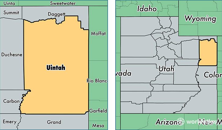
Uintah County is a county equivalent area found in Utah, USA. The county government of Uintah is found in the county seat of Vernal.
With a total 11,654.22 sq. km of land and water area, Uintah County, Utah is the 108th largest county equivalent area in the United States. Home to 36,867 people, Uintah County has a total 12839 households earning 62067 on average per year.
Uintah County, Utah offers the following attraction to visitors: Dinosaur NM Quarry
Uintah County, Utah - Quick Facts
| FIPS Code | 49047 |
| Area Codes | 435 |
| Time Zone | MST |
| Major Cities | Vernal (population: 27,386), Fort Duchesne (population: 1,767), Lapoint (population: 1,167), Jensen (population: 792), Whiterocks (population: 562), Tridell (population: 413), Randlett (population: 353) |
| Land Area | 14,234 sq miles |
| Water Area | 4,478 sq miles |
| Household Income | $62,067 |
| Housing Units | 12,839 |
| Median Home Value | $187,900 |
| High School Grads | 86% of population |
| Holders of Bachelors Degrees | 16% of population |
| Retail Spending | $15,958 per capita |
| Food & Accomodation Sales | $46,512 per capita |
This page was last updated on June 30, 2016.