Where is Zavala County, Texas?
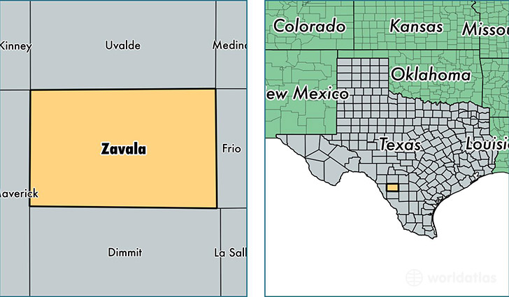
Zavala County is a county equivalent area found in Texas, USA. The county government of Zavala is found in the county seat of Crystal City.
With a total 3,371.48 sq. km of land and water area, Zavala County, Texas is the 523rd largest county equivalent area in the United States. Home to 12,267 people, Zavala County has a total 4267 households earning 25625 on average per year.
Zavala County, Texas - Quick Facts
| FIPS Code | 48507 |
| Area Codes | 830 |
| Time Zone | CST |
| Major Cities | Crystal City (population: 8,786), La Pryor (population: 1,951), Batesville (population: 1,236) |
| Land Area | 4,736 sq miles |
| Water Area | 1,297 sq miles |
| Household Income | $25,625 |
| Housing Units | 4,267 |
| Median Home Value | $39,900 |
| High School Grads | 60% of population |
| Holders of Bachelors Degrees | 9% of population |
| Retail Spending | $2,860 per capita |
| Food & Accomodation Sales | $4,638 per capita |
This page was last updated on June 30, 2016.