Where is Wichita County, Texas?
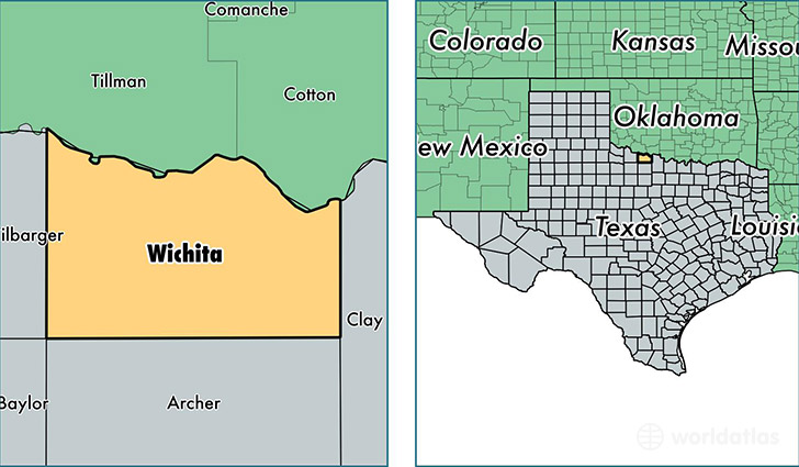
Wichita County is a county equivalent area found in Texas, USA. The county government of Wichita is found in the county seat of Wichita Falls.
With a total 1,639.76 sq. km of land and water area, Wichita County, Texas is the 1633rd largest county equivalent area in the United States. Home to 132,355 people, Wichita County has a total 55758 households earning 45086 on average per year.
Wichita County, Texas - Quick Facts
| FIPS Code | 48485 |
| Area Codes | 940 |
| Time Zone | CST |
| Major Cities | Wichita Falls (population: 101,896), Iowa Park (population: 13,050), Burkburnett (population: 11,275), Sheppard AFB (population: 7,538), Electra (population: 3,499) |
| Land Area | 51,103 sq miles |
| Water Area | 628 sq miles |
| Household Income | $45,086 |
| Housing Units | 55,758 |
| Median Home Value | $89,800 |
| High School Grads | 85% of population |
| Holders of Bachelors Degrees | 20% of population |
| Retail Spending | $13,382 per capita |
| Food & Accomodation Sales | $254,849 per capita |
This page was last updated on June 30, 2016.