Where is Kerr County, Texas?
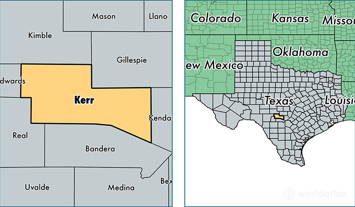
Kerr County is a county equivalent area found in Texas, USA. The county government of Kerr is found in the county seat of Kerrville.
With a total 2,867.83 sq. km of land and water area, Kerr County, Texas is the 658th largest county equivalent area in the United States. Home to 50,562 people, Kerr County has a total 23824 households earning 43601 on average per year.
Kerr County, Texas - Quick Facts
| FIPS Code | 48265 |
| Area Codes | 830 |
| Time Zone | CST |
| Major Cities | Kerrville (population: 37,749), Ingram (population: 4,972), Center Point (population: 3,396), Hunt (population: 1,440), Mountain Home (population: 1,262) |
| Land Area | 19,522 sq miles |
| Water Area | 1,103 sq miles |
| Household Income | $43,601 |
| Housing Units | 23,824 |
| Median Home Value | $150,700 |
| High School Grads | 87% of population |
| Holders of Bachelors Degrees | 28% of population |
| Retail Spending | $15,159 per capita |
| Food & Accomodation Sales | $97,589 per capita |
This page was last updated on June 30, 2016.