Where is Brazoria County, Texas?
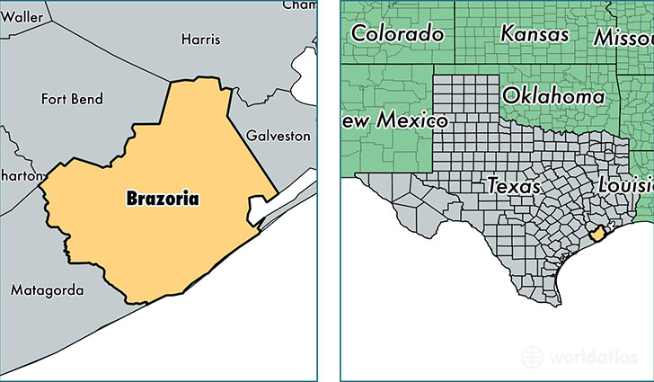
Brazoria County is a county equivalent area found in Texas, USA. The county government of Brazoria is found in the county seat of Angleton.
With a total 4,166.26 sq. km of land and water area, Brazoria County, Texas is the 417th largest county equivalent area in the United States. Home to 338,124 people, Brazoria County has a total 123867 households earning 67603 on average per year.
Brazoria County, Texas - Quick Facts
| FIPS Code | 48039 |
| Area Codes | 979,281 |
| Time Zone | CST |
| Major Cities | Pearland (population: 116,816), Alvin (population: 48,338), Angleton (population: 31,431), Rosharon (population: 29,811), Lake Jackson (population: 29,803), Freeport (population: 18,057), Clute (population: 16,218), Brazoria (population: 14,449), Manvel (population: 13,141), Sweeny (population: 8,382) |
| Land Area | 130,550 sq miles |
| Water Area | 1,358 sq miles |
| Household Income | $67,603 |
| Housing Units | 123,867 |
| Median Home Value | $148,000 |
| High School Grads | 85% of population |
| Holders of Bachelors Degrees | 28% of population |
| Retail Spending | $10,094 per capita |
| Food & Accomodation Sales | $313,474 per capita |
| Universities and Colleges | Brazosport College |
This page was last updated on June 30, 2016.