Where is Bandera County, Texas?
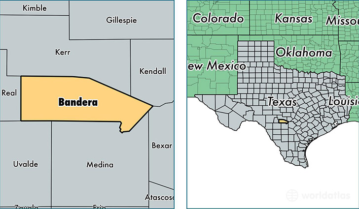
Bandera County is a county equivalent area found in Texas, USA. The county government of Bandera is found in the county seat of Bandera.
With a total 2,065.94 sq. km of land and water area, Bandera County, Texas is the 1185th largest county equivalent area in the United States. Home to 20,892 people, Bandera County has a total 11491 households earning 49215 on average per year.
Bandera County, Texas - Quick Facts
| FIPS Code | 48019 |
| Area Codes | 830 |
| Time Zone | CST |
| Major Cities | Pipe Creek (population: 9,250), Bandera (population: 8,714), Medina (population: 1,778), Tarpley (population: 353), Vanderpool (population: 120) |
| Land Area | 8,066 sq miles |
| Water Area | 791 sq miles |
| Household Income | $49,215 |
| Housing Units | 11,491 |
| Median Home Value | $143,600 |
| High School Grads | 87% of population |
| Holders of Bachelors Degrees | 22% of population |
| Retail Spending | $3,766 per capita |
| Food & Accomodation Sales | $23,207 per capita |
This page was last updated on June 30, 2016.