Where is Putnam County, Tennessee?
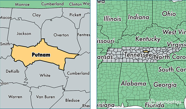
Putnam County is a county equivalent area found in Tennessee, USA. The county government of Putnam is found in the county seat of Cookeville.
With a total 1,042.64 sq. km of land and water area, Putnam County, Tennessee is the 2591st largest county equivalent area in the United States. Home to 74,165 people, Putnam County has a total 32498 households earning 33709 on average per year.
Putnam County, Tennessee - Quick Facts
| FIPS Code | 47141 |
| Area Codes | 931 |
| Time Zone | CST |
| Major Cities | Cookeville (population: 65,725), Monterey (population: 8,506), Baxter (population: 6,624), Silver Point (population: 1,442), Buffalo Valley (population: 735) |
| Land Area | 28,635 sq miles |
| Water Area | 401 sq miles |
| Household Income | $33,709 |
| Housing Units | 32,498 |
| Median Home Value | $135,100 |
| High School Grads | 83% of population |
| Holders of Bachelors Degrees | 23% of population |
| Retail Spending | $17,059 per capita |
| Food & Accomodation Sales | $138,047 per capita |
This page was last updated on June 30, 2016.