Where is McCurtain County, Oklahoma?
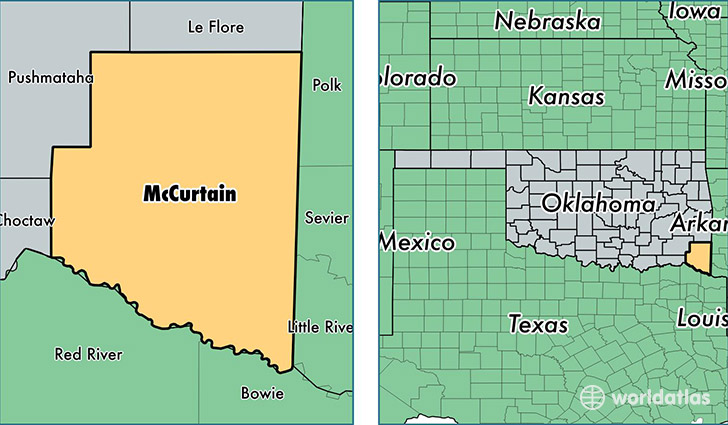
McCurtain County is a county equivalent area found in Oklahoma, USA. The county government of McCurtain is found in the county seat of Idabel.
With a total 4,927.13 sq. km of land and water area, McCurtain County, Oklahoma is the 342nd largest county equivalent area in the United States. Home to 33,050 people, McCurtain County has a total 15501 households earning 31790 on average per year.
McCurtain County, Oklahoma - Quick Facts
| FIPS Code | 40089 |
| Area Codes | 580 |
| Time Zone | CST |
| Major Cities | Broken Bow (population: 11,358), Idabel (population: 9,927), Valliant (population: 3,477), Haworth (population: 2,291), Wright City (population: 1,597), Garvin (population: 1,179), Eagletown (population: 1,088), Watson (population: 608), Ringold (population: 380), Bethel (population: 377) |
| Land Area | 12,761 sq miles |
| Water Area | 1,851 sq miles |
| Household Income | $31,790 |
| Housing Units | 15,501 |
| Median Home Value | $71,500 |
| High School Grads | 81% of population |
| Holders of Bachelors Degrees | 14% of population |
| Retail Spending | $7,800 per capita |
| Food & Accomodation Sales | $21,650 per capita |
This page was last updated on June 30, 2016.