Where is Comanche County, Oklahoma?
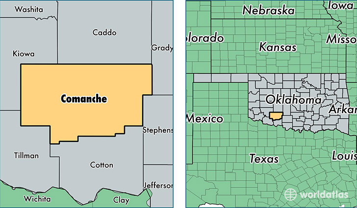
Comanche County is a county equivalent area found in Oklahoma, USA. The county government of Comanche is found in the county seat of Lawton.
With a total 2,806.78 sq. km of land and water area, Comanche County, Oklahoma is the 678th largest county equivalent area in the United States. Home to 125,033 people, Comanche County has a total 51414 households earning 46036 on average per year.
Comanche County, Oklahoma - Quick Facts
| FIPS Code | 40031 |
| Area Codes | 580 |
| Time Zone | CST |
| Major Cities | Lawton (population: 95,317), Fort Sill (population: 11,199), Cache (population: 5,279), Elgin (population: 4,761), Fletcher (population: 3,163), Geronimo (population: 1,892), Indiahoma (population: 1,641), Sterling (population: 875), Chattanooga (population: 686), Faxon (population: 446) |
| Land Area | 48,275 sq miles |
| Water Area | 1,069 sq miles |
| Household Income | $46,036 |
| Housing Units | 51,414 |
| Median Home Value | $111,700 |
| High School Grads | 89% of population |
| Holders of Bachelors Degrees | 20% of population |
| Retail Spending | $10,539 per capita |
| Food & Accomodation Sales | $154,462 per capita |
This page was last updated on June 30, 2016.