Where is Washington County, Ohio?
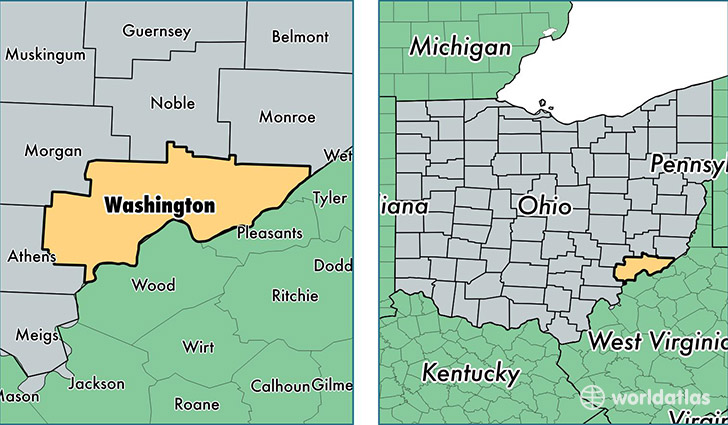
Washington County is a county equivalent area found in Ohio, USA. The county government of Washington is found in the county seat of Marietta.
With a total 1,657.58 sq. km of land and water area, Washington County, Ohio is the 1612th largest county equivalent area in the United States. Home to 61,213 people, Washington County has a total 27991 households earning 42834 on average per year.
Washington County, Ohio - Quick Facts
| FIPS Code | 39167 |
| Area Codes | 740 |
| Time Zone | EST |
| Major Cities | Marietta (population: 27,648), Belpre (population: 9,902), Vincent (population: 3,369), Waterford (population: 3,236), Little Hocking (population: 2,999), Lowell (population: 2,714), Beverly (population: 2,614), Cutler (population: 1,735), Newport (population: 1,694), Fleming (population: 1,282) |
| Land Area | 23,634 sq miles |
| Water Area | 632 sq miles |
| Household Income | $42,834 |
| Housing Units | 27,991 |
| Median Home Value | $108,600 |
| High School Grads | 89% of population |
| Holders of Bachelors Degrees | 16% of population |
| Retail Spending | $10,715 per capita |
| Food & Accomodation Sales | $83,684 per capita |
| Universities and Colleges | Marietta College |
This page was last updated on June 30, 2016.