Where is Muskingum County, Ohio?
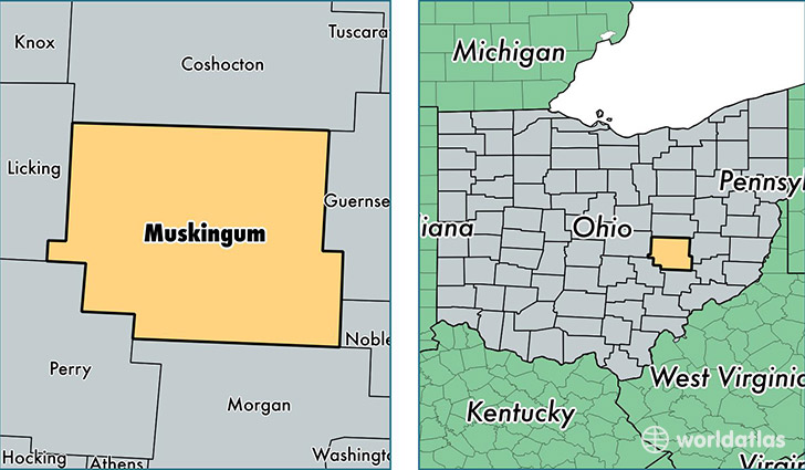
Muskingum County is a county equivalent area found in Ohio, USA. The county government of Muskingum is found in the county seat of Zanesville.
With a total 1,741.98 sq. km of land and water area, Muskingum County, Ohio is the 1515th largest county equivalent area in the United States. Home to 85,818 people, Muskingum County has a total 37686 households earning 40524 on average per year.
Muskingum County, Ohio - Quick Facts
| FIPS Code | 39119 |
| Area Codes | 740 |
| Time Zone | EST |
| Major Cities | Zanesville (population: 55,562), Nashport (population: 6,155), New Concord (population: 5,400), Roseville (population: 4,707), Frazeysburg (population: 4,625), Dresden (population: 4,319), Philo (population: 2,004), Chandlersville (population: 1,470), Norwich (population: 1,440), Hopewell (population: 1,423) |
| Land Area | 33,135 sq miles |
| Water Area | 664 sq miles |
| Household Income | $40,524 |
| Housing Units | 37,686 |
| Median Home Value | $108,500 |
| High School Grads | 87% of population |
| Holders of Bachelors Degrees | 14% of population |
| Retail Spending | $13,214 per capita |
| Food & Accomodation Sales | $124,028 per capita |
This page was last updated on June 30, 2016.