Where is Montgomery County, Ohio?
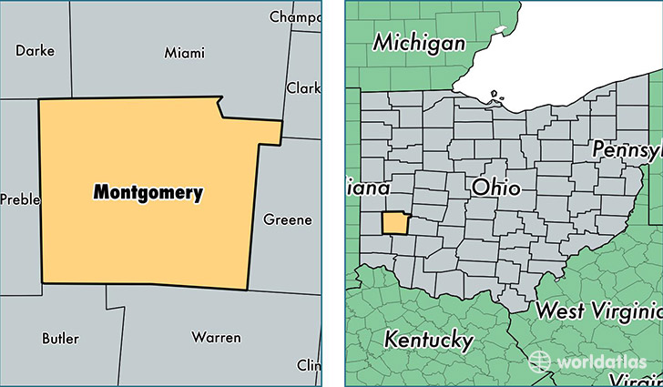
Montgomery County is a county equivalent area found in Ohio, USA. The county government of Montgomery is found in the county seat of Dayton.
With a total 1,202.63 sq. km of land and water area, Montgomery County, Ohio is the 2305th largest county equivalent area in the United States. Home to 533,116 people, Montgomery County has a total 253851 households earning 43401 on average per year.
Montgomery County, Ohio - Quick Facts
| FIPS Code | 39113 |
| Area Codes | 937 |
| Time Zone | EST |
| Major Cities | Dayton (population: 414,987), Miamisburg (population: 36,729), Englewood (population: 21,416), Vandalia (population: 15,191), Brookville (population: 12,103), Germantown (population: 8,903), New Lebanon (population: 6,134), Clayton (population: 4,370), Farmersville (population: 2,642), Phillipsburg (population: 641) |
| Land Area | 205,837 sq miles |
| Water Area | 461 sq miles |
| Household Income | $43,401 |
| Housing Units | 253,851 |
| Median Home Value | $112,800 |
| High School Grads | 88% of population |
| Holders of Bachelors Degrees | 25% of population |
| Retail Spending | $12,719 per capita |
| Food & Accomodation Sales | $882,692 per capita |
| Universities and Colleges | Carousel Beauty College, Carousel of Miami Valley Beauty College, ITT Technical Institute-Dayton, Kettering College of Medical Arts, Ohio Institute of Photography and Technology, School of Advertising Art Inc |
This page was last updated on June 30, 2016.