Where is Brown County, Ohio?
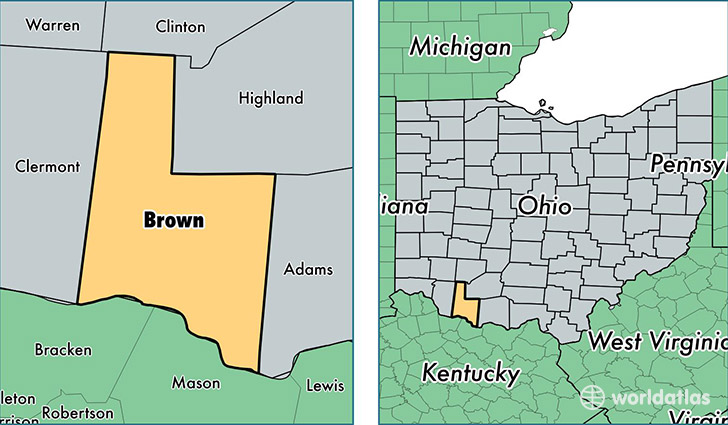
Brown County is a county equivalent area found in Ohio, USA. The county government of Brown is found in the county seat of Georgetown.
With a total 1,278.03 sq. km of land and water area, Brown County, Ohio is the 2208th largest county equivalent area in the United States. Home to 44,116 people, Brown County has a total 19230 households earning 44341 on average per year.
Brown County, Ohio - Quick Facts
| FIPS Code | 39015 |
| Area Codes | 937,513 |
| Time Zone | EST |
| Major Cities | Mount Orab (population: 9,075), Georgetown (population: 8,943), Sardinia (population: 5,987), Hamersville (population: 3,883), Ripley (population: 3,724), Fayetteville (population: 3,578), Aberdeen (population: 2,360), Russellville (population: 1,590), Higginsport (population: 235), Decatur (population: 77) |
| Land Area | 17,033 sq miles |
| Water Area | 490 sq miles |
| Household Income | $44,341 |
| Housing Units | 19,230 |
| Median Home Value | $116,300 |
| High School Grads | 82% of population |
| Holders of Bachelors Degrees | 11% of population |
| Retail Spending | $5,987 per capita |
| Food & Accomodation Sales | $29,265 per capita |
This page was last updated on June 30, 2016.