Where is Broome County, New York?
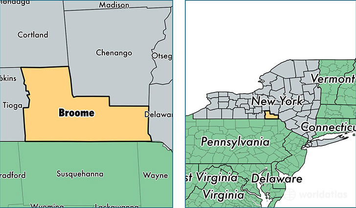
Broome County is a county equivalent area found in New York, USA. The county government of Broome is found in the county seat of Binghamton.
With a total 1,853.17 sq. km of land and water area, Broome County, New York is the 1396th largest county equivalent area in the United States. Home to 197,349 people, Broome County has a total 89686 households earning 45958 on average per year.
Broome County, New York - Quick Facts
| FIPS Code | 36007 |
| Area Codes | 607 |
| Time Zone | EST |
| Major Cities | Binghamton (population: 81,273), Endicott (population: 43,703), Vestal (population: 21,725), Johnson City (population: 18,862), Windsor (population: 6,290), Port Crane (population: 4,201), Whitney Point (population: 4,136), Conklin (population: 3,751), Kirkwood (population: 3,751), Harpursville (population: 3,584) |
| Land Area | 76,197 sq miles |
| Water Area | 706 sq miles |
| Household Income | $45,958 |
| Housing Units | 89,686 |
| Median Home Value | $107,900 |
| High School Grads | 90% of population |
| Holders of Bachelors Degrees | 26% of population |
| Retail Spending | $13,196 per capita |
| Food & Accomodation Sales | $326,420 per capita |
| Universities and Colleges | SUNY at Binghamton |
This page was last updated on June 30, 2016.