Where is Washoe County, Nevada?
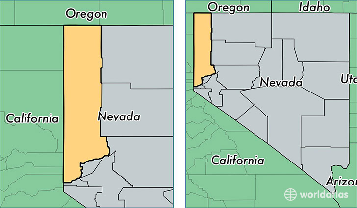
Washoe County is a county equivalent area found in Nevada, USA. The county government of Washoe is found in the county seat of Reno.
With a total 16,944.25 sq. km of land and water area, Washoe County, Nevada is the 57th largest county equivalent area in the United States. Home to 440,078 people, Washoe County has a total 185305 households earning 53040 on average per year.
Washoe County, Nevada - Quick Facts
| FIPS Code | 32031 |
| Area Codes | 775 |
| Time Zone | PST |
| Major Cities | Reno (population: 282,425), Sparks (population: 112,188), Sun Valley (population: 20,595), Incline Village (population: 9,197), Washoe Valley (population: 4,376), Verdi (population: 1,440), Wadsworth (population: 1,140), Nixon (population: 347), Gerlach (population: 293), Empire (population: 243) |
| Land Area | 169,915 sq miles |
| Water Area | 6,302 sq miles |
| Household Income | $53,040 |
| Housing Units | 185,305 |
| Median Home Value | $203,300 |
| High School Grads | 87% of population |
| Holders of Bachelors Degrees | 27% of population |
| Retail Spending | $16,409 per capita |
| Food & Accomodation Sales | $2,399,394 per capita |
| Universities and Colleges | Career College of Northern Nevada, University of Nevada-Reno |
This page was last updated on June 30, 2016.