Where is Curry County, New Mexico?
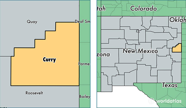
Curry County is a county equivalent area found in New Mexico, USA. The county government of Curry is found in the county seat of Clovis.
With a total 3,646.42 sq. km of land and water area, Curry County, New Mexico is the 483rd largest county equivalent area in the United States. Home to 50,969 people, Curry County has a total 20478 households earning 39871 on average per year.
Curry County, New Mexico - Quick Facts
| FIPS Code | 35009 |
| Area Codes | 575 |
| Time Zone | MST |
| Major Cities | Clovis (population: 46,459), Texico (population: 1,862), Melrose (population: 1,197), Cannon AFB (population: 286), Grady (population: 243) |
| Land Area | 19,679 sq miles |
| Water Area | 1,405 sq miles |
| Household Income | $39,871 |
| Housing Units | 20,478 |
| Median Home Value | $119,600 |
| High School Grads | 82% of population |
| Holders of Bachelors Degrees | 20% of population |
| Retail Spending | $13,109 per capita |
| Food & Accomodation Sales | $68,312 per capita |
This page was last updated on June 30, 2016.