Where is Monmouth County, New Jersey?
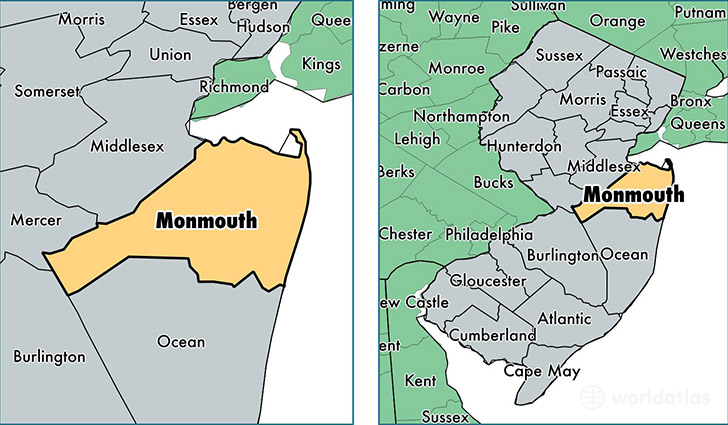
Monmouth County is a county equivalent area found in New Jersey, USA. The county government of Monmouth is found in the county seat of Freehold.
With a total 1,723.17 sq. km of land and water area, Monmouth County, New Jersey is the 1526th largest county equivalent area in the United States. Home to 629,279 people, Monmouth County has a total 259789 households earning 84526 on average per year.
Monmouth County, New Jersey - Quick Facts
| FIPS Code | 34025 |
| Area Codes | 732,609 |
| Time Zone | EST |
| Major Cities | Freehold (population: 56,168), Englishtown (population: 42,440), Asbury Park (population: 39,096), Howell (population: 38,243), Neptune (population: 37,494), Long Branch (population: 30,988), Matawan (population: 30,910), Middletown (population: 27,985), Red Bank (population: 23,775), Eatontown (population: 21,675) |
| Land Area | 242,966 sq miles |
| Water Area | 469 sq miles |
| Household Income | $84,526 |
| Housing Units | 259,789 |
| Median Home Value | $389,900 |
| High School Grads | 92% of population |
| Holders of Bachelors Degrees | 41% of population |
| Retail Spending | $17,511 per capita |
| Food & Accomodation Sales | $1,153,458 per capita |
| Universities and Colleges | Talmudical Academy-New Jersey |
This page was last updated on June 30, 2016.