Where is Dawson County, Nebraska?
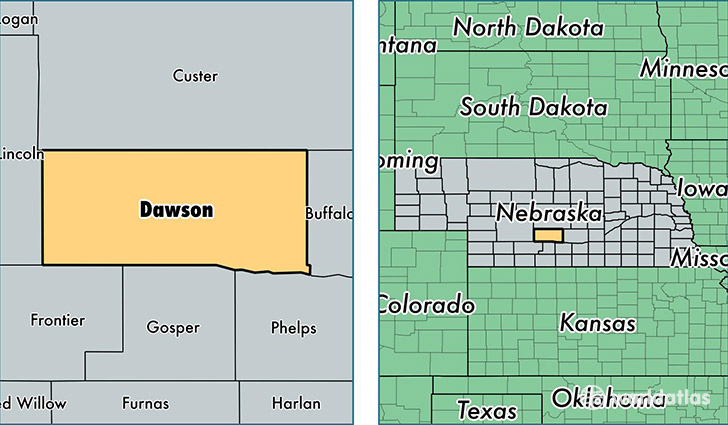
Dawson County is a county equivalent area found in Nebraska, USA. The county government of Dawson is found in the county seat of Lexington.
With a total 2,640.32 sq. km of land and water area, Dawson County, Nebraska is the 747th largest county equivalent area in the United States. Home to 24,096 people, Dawson County has a total 10102 households earning 46078 on average per year.
Dawson County, Nebraska offers the following attraction to visitors: Heartland Museum of Military Vehicles
Dawson County, Nebraska - Quick Facts
| FIPS Code | 31047 |
| Area Codes | 308 |
| Time Zone | CST |
| Major Cities | Lexington (population: 12,241), Cozad (population: 5,283), Gothenburg (population: 4,467), Overton (population: 1,146), Sumner (population: 443), Farnam (population: 314), Eddyville (population: 224), Willow Island (population: 25) |
| Land Area | 9,304 sq miles |
| Water Area | 1,013 sq miles |
| Household Income | $46,078 |
| Housing Units | 10,102 |
| Median Home Value | $88,200 |
| High School Grads | 76% of population |
| Holders of Bachelors Degrees | 16% of population |
| Retail Spending | $13,937 per capita |
| Food & Accomodation Sales | $24,652 per capita |
This page was last updated on June 30, 2016.