Where is Mountrail County, North Dakota?
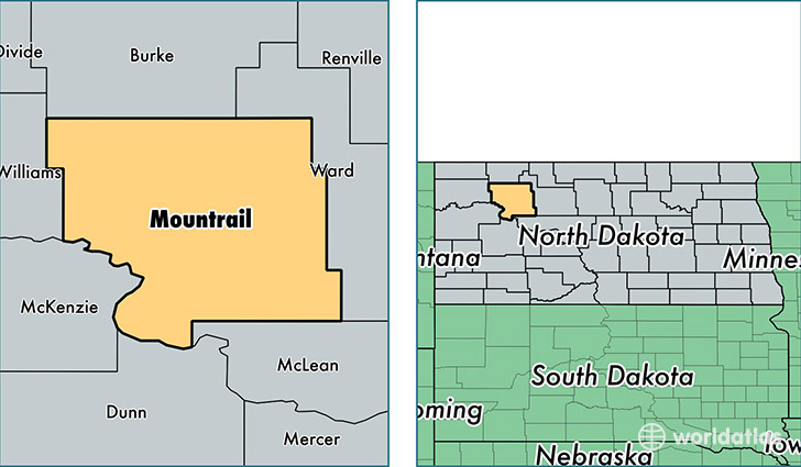
Mountrail County is a county equivalent area found in North Dakota, USA. The county government of Mountrail is found in the county seat of Stanley.
With a total 5,028.58 sq. km of land and water area, Mountrail County, North Dakota is the 328th largest county equivalent area in the United States. Home to 9,782 people, Mountrail County has a total 4546 households earning 68722 on average per year.
Mountrail County, North Dakota - Quick Facts
| FIPS Code | 38061 |
| Area Codes | 701 |
| Time Zone | CST |
| Major Cities | New Town (population: 4,076), Stanley (population: 2,651), Parshall (population: 1,403), Plaza (population: 509), Ross (population: 339), Palermo (population: 260), White Earth (population: 180) |
| Land Area | 3,777 sq miles |
| Water Area | 1,825 sq miles |
| Household Income | $68,722 |
| Housing Units | 4,546 |
| Median Home Value | $89,400 |
| High School Grads | 90% of population |
| Holders of Bachelors Degrees | 18% of population |
| Retail Spending | $18,342 per capita |
| Food & Accomodation Sales | $4,752 per capita |
| Universities and Colleges | Fort Berthold Community College |
This page was last updated on June 30, 2016.