Where is Wayne County, North Carolina?
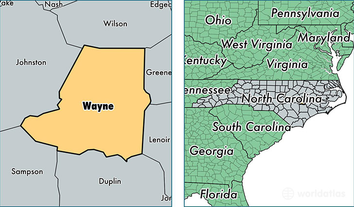
Wayne County is a county equivalent area found in North Carolina, USA. The county government of Wayne is found in the county seat of Goldsboro.
With a total 1,442.13 sq. km of land and water area, Wayne County, North Carolina is the 1982nd largest county equivalent area in the United States. Home to 124,456 people, Wayne County has a total 52786 households earning 41731 on average per year.
Wayne County, North Carolina - Quick Facts
| FIPS Code | 37191 |
| Area Codes | 919,252 |
| Time Zone | EST |
| Major Cities | Goldsboro (population: 73,027), Mount Olive (population: 17,450), Dudley (population: 11,986), Pikeville (population: 11,889), Seven Springs (population: 6,444), Fremont (population: 4,816) |
| Land Area | 48,053 sq miles |
| Water Area | 553 sq miles |
| Household Income | $41,731 |
| Housing Units | 52,786 |
| Median Home Value | $108,600 |
| High School Grads | 82% of population |
| Holders of Bachelors Degrees | 16% of population |
| Retail Spending | $12,251 per capita |
| Food & Accomodation Sales | $132,100 per capita |
| Universities and Colleges | Mitchells Hairstyling Academy |
This page was last updated on June 30, 2016.