Where is Rutherford County, North Carolina?
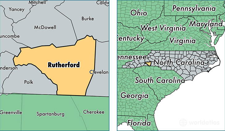
Rutherford County is a county equivalent area found in North Carolina, USA. The county government of Rutherford is found in the county seat of Rutherfordton.
With a total 1,465.54 sq. km of land and water area, Rutherford County, North Carolina is the 1953rd largest county equivalent area in the United States. Home to 66,600 people, Rutherford County has a total 33650 households earning 36334 on average per year.
Rutherford County, North Carolina - Quick Facts
| FIPS Code | 37161 |
| Area Codes | 828 |
| Time Zone | EST |
| Major Cities | Forest City (population: 20,903), Rutherfordton (population: 19,962), Ellenboro (population: 7,911), Mooresboro (population: 7,502), Bostic (population: 5,522), Spindale (population: 3,900), Lake Lure (population: 2,370), Union Mills (population: 2,346), Henrietta (population: 716), Caroleen (population: 122) |
| Land Area | 25,714 sq miles |
| Water Area | 564 sq miles |
| Household Income | $36,334 |
| Housing Units | 33,650 |
| Median Home Value | $108,600 |
| High School Grads | 82% of population |
| Holders of Bachelors Degrees | 17% of population |
| Retail Spending | $10,144 per capita |
| Food & Accomodation Sales | $60,170 per capita |
| Universities and Colleges | Isothermal Community College |
This page was last updated on June 30, 2016.