Where is Moore County, North Carolina?
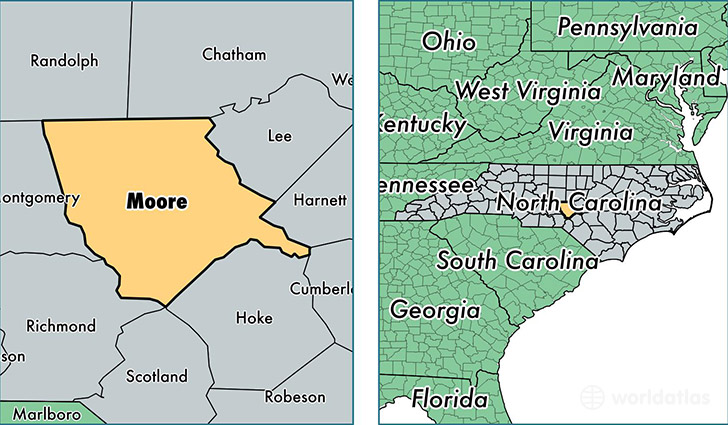
Moore County is a county equivalent area found in North Carolina, USA. The county government of Moore is found in the county seat of Carthage.
With a total 1,828.15 sq. km of land and water area, Moore County, North Carolina is the 1428th largest county equivalent area in the United States. Home to 93,077 people, Moore County has a total 44613 households earning 49544 on average per year.
Moore County, North Carolina - Quick Facts
| FIPS Code | 37125 |
| Area Codes | 910 |
| Time Zone | EST |
| Major Cities | Pinehurst (population: 16,362), Carthage (population: 15,792), Southern Pines (population: 14,245), Aberdeen (population: 12,035), West End (population: 9,604), Robbins (population: 6,859), Vass (population: 5,284), Jackson Springs (population: 3,132), Pinebluff (population: 2,200), Eagle Springs (population: 2,148) |
| Land Area | 35,937 sq miles |
| Water Area | 698 sq miles |
| Household Income | $49,544 |
| Housing Units | 44,613 |
| Median Home Value | $201,600 |
| High School Grads | 90% of population |
| Holders of Bachelors Degrees | 31% of population |
| Retail Spending | $11,819 per capita |
| Food & Accomodation Sales | $227,547 per capita |
| Universities and Colleges | Sandhills Community College |
This page was last updated on June 30, 2016.