Where is Henderson County, North Carolina?
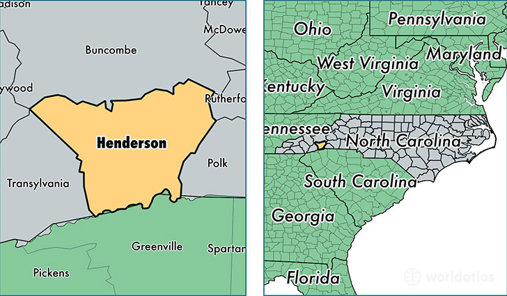
Henderson County is a county equivalent area found in North Carolina, USA. The county government of Henderson is found in the county seat of Hendersonville.
With a total 971.84 sq. km of land and water area, Henderson County, North Carolina is the 2675th largest county equivalent area in the United States. Home to 111,149 people, Henderson County has a total 54922 households earning 44815 on average per year.
Henderson County, North Carolina offers the following attraction to visitors: Carl Sandburg Home NHS
Henderson County, North Carolina - Quick Facts
| FIPS Code | 37089 |
| Area Codes | 828 |
| Time Zone | EST |
| Major Cities | Hendersonville (population: 67,594), Fletcher (population: 16,779), Flat Rock (population: 7,889), Mills River (population: 7,022), Zirconia (population: 3,250), East Flat Rock (population: 3,248), Etowah (population: 2,935), Horse Shoe (population: 2,742), Mountain Home (population: 607), Gerton (population: 259) |
| Land Area | 42,915 sq miles |
| Water Area | 373 sq miles |
| Household Income | $44,815 |
| Housing Units | 54,922 |
| Median Home Value | $185,500 |
| High School Grads | 88% of population |
| Holders of Bachelors Degrees | 28% of population |
| Retail Spending | $14,699 per capita |
| Food & Accomodation Sales | $170,539 per capita |
| Universities and Colleges | Blue Ridge Community College |
This page was last updated on June 30, 2016.