Where is Harnett County, North Carolina?
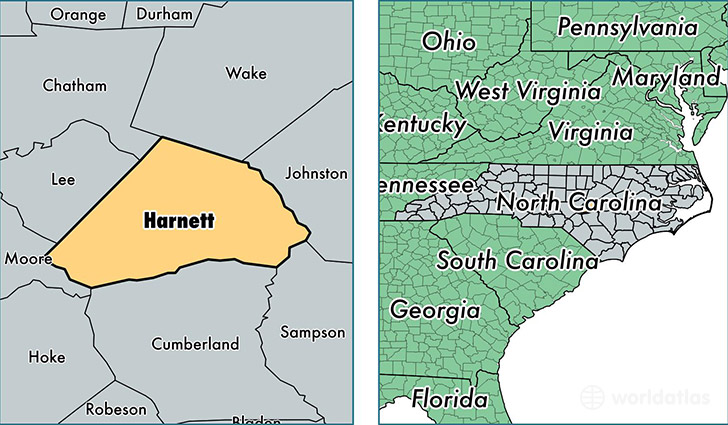
Harnett County is a county equivalent area found in North Carolina, USA. The county government of Harnett is found in the county seat of Lillington.
With a total 1,557.37 sq. km of land and water area, Harnett County, North Carolina is the 1739th largest county equivalent area in the United States. Home to 126,666 people, Harnett County has a total 48351 households earning 44625 on average per year.
Harnett County, North Carolina - Quick Facts
| FIPS Code | 37085 |
| Area Codes | 919,910 |
| Time Zone | EST |
| Major Cities | Dunn (population: 26,066), Spring Lake (population: 20,745), Lillington (population: 20,737), Cameron (population: 18,622), Angier (population: 18,561), Erwin (population: 7,189), Coats (population: 6,427), Broadway (population: 6,236), Bunnlevel (population: 3,388), Buies Creek (population: 2,097) |
| Land Area | 48,906 sq miles |
| Water Area | 595 sq miles |
| Household Income | $44,625 |
| Housing Units | 48,351 |
| Median Home Value | $132,600 |
| High School Grads | 84% of population |
| Holders of Bachelors Degrees | 19% of population |
| Retail Spending | $8,029 per capita |
| Universities and Colleges | Campbell University Inc, Heritage Bible College |
This page was last updated on June 30, 2016.