Where is Buncombe County, North Carolina?
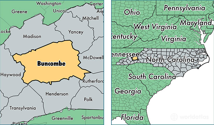
Buncombe County is a county equivalent area found in North Carolina, USA. The county government of Buncombe is found in the county seat of Asheville.
With a total 1,709.75 sq. km of land and water area, Buncombe County, North Carolina is the 1536th largest county equivalent area in the United States. Home to 250,539 people, Buncombe County has a total 114556 households earning 44713 on average per year.
Buncombe County, North Carolina offers the following attraction to visitors: Biltmore Estate
Buncombe County, North Carolina - Quick Facts
| FIPS Code | 37021 |
| Area Codes | 828 |
| Time Zone | EST |
| Major Cities | Asheville (population: 123,505), Candler (population: 25,218), Weaverville (population: 20,215), Arden (population: 19,303), Black Mountain (population: 13,545), Leicester (population: 11,625), Swannanoa (population: 10,649), Fairview (population: 9,369), Alexander (population: 3,729), Barnardsville (population: 2,282) |
| Land Area | 96,734 sq miles |
| Water Area | 657 sq miles |
| Household Income | $44,713 |
| Housing Units | 114,556 |
| Median Home Value | $191,200 |
| High School Grads | 89% of population |
| Holders of Bachelors Degrees | 34% of population |
| Retail Spending | $15,862 per capita |
| Food & Accomodation Sales | $684,287 per capita |
This page was last updated on June 30, 2016.