Where is Panola County, Mississippi?
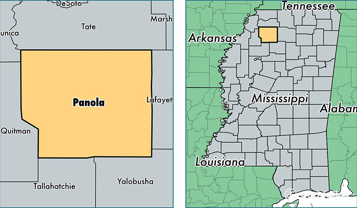
Panola County is a county equivalent area found in Mississippi, USA. The county government of Panola is found in the county seat of Batesville.
With a total 1,826.28 sq. km of land and water area, Panola County, Mississippi is the 1429th largest county equivalent area in the United States. Home to 34,444 people, Panola County has a total 14600 households earning 35715 on average per year.
Panola County, Mississippi - Quick Facts
| FIPS Code | 28107 |
| Area Codes | 662 |
| Time Zone | CST |
| Major Cities | Batesville (population: 16,022), Sardis (population: 6,868), Como (population: 5,023), Courtland (population: 3,352), Pope (population: 2,060), Crenshaw (population: 1,871) |
| Land Area | 13,299 sq miles |
| Water Area | 685 sq miles |
| Household Income | $35,715 |
| Housing Units | 14,600 |
| Median Home Value | $77,500 |
| High School Grads | 76% of population |
| Holders of Bachelors Degrees | 14% of population |
| Retail Spending | $10,918 per capita |
| Food & Accomodation Sales | $32,577 per capita |
This page was last updated on June 30, 2016.