Where is Jones County, Mississippi?
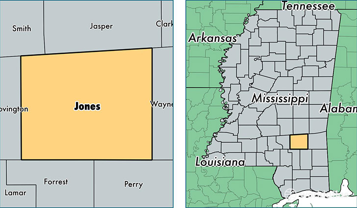
Jones County is a county equivalent area found in Mississippi, USA. The county government of Jones is found in the county seat of Ellisville.
With a total 1,812.24 sq. km of land and water area, Jones County, Mississippi is the 1440th largest county equivalent area in the United States. Home to 68,290 people, Jones County has a total 28378 households earning 38074 on average per year.
Jones County, Mississippi - Quick Facts
| FIPS Code | 28067 |
| Area Codes | 601 |
| Time Zone | CST |
| Major Cities | Laurel (population: 43,750), Ellisville (population: 13,084), Moselle (population: 3,724), Soso (population: 2,803), Ovett (population: 2,505), Sandersville (population: 694), Eastabuchie (population: 54) |
| Land Area | 26,367 sq miles |
| Water Area | 695 sq miles |
| Household Income | $38,074 |
| Housing Units | 28,378 |
| Median Home Value | $84,200 |
| High School Grads | 79% of population |
| Holders of Bachelors Degrees | 17% of population |
| Retail Spending | $12,212 per capita |
| Food & Accomodation Sales | $442,842 per capita |
This page was last updated on June 30, 2016.