Where is Coahoma County, Mississippi?
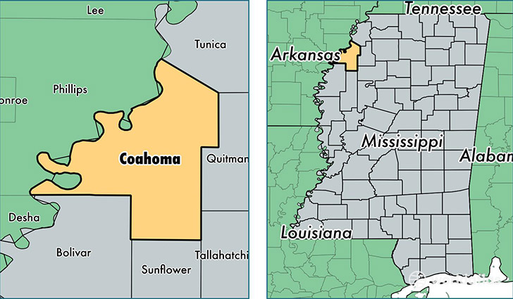
Coahoma County is a county equivalent area found in Mississippi, USA. The county government of Coahoma is found in the county seat of Clarksdale.
With a total 1,510.36 sq. km of land and water area, Coahoma County, Mississippi is the 1814th largest county equivalent area in the United States. Home to 24,807 people, Coahoma County has a total 10729 households earning 26407 on average per year.
Coahoma County, Mississippi - Quick Facts
| FIPS Code | 28027 |
| Area Codes | 662 |
| Time Zone | CST |
| Major Cities | Clarksdale (population: 20,073), Lyon (population: 1,304), Friars Point (population: 1,283), Jonestown (population: 1,235), Coahoma (population: 721), Lula (population: 204), Farrell (population: 129), Dublin (population: 118), Rena Lara (population: 75), Sherard (population: 71) |
| Land Area | 9,578 sq miles |
| Water Area | 553 sq miles |
| Household Income | $26,407 |
| Housing Units | 10,729 |
| Median Home Value | $55,600 |
| High School Grads | 77% of population |
| Holders of Bachelors Degrees | 18% of population |
| Retail Spending | $9,448 per capita |
| Food & Accomodation Sales | $120,568 per capita |
This page was last updated on June 30, 2016.