Where is McLeod County, Minnesota?
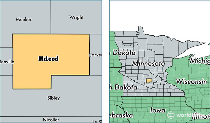
McLeod County is a county equivalent area found in Minnesota, USA. The county government of McLeod is found in the county seat of Glencoe.
With a total 1,309.31 sq. km of land and water area, McLeod County, Minnesota is the 2156th largest county equivalent area in the United States. Home to 35,882 people, McLeod County has a total 15691 households earning 55170 on average per year.
McLeod County, Minnesota - Quick Facts
| FIPS Code | 27085 |
| Area Codes | 320 |
| Time Zone | CST |
| Major Cities | Hutchinson (population: 17,983), Glencoe (population: 7,925), Winsted (population: 2,846), Lester Prairie (population: 2,696), Silver Lake (population: 2,029), Brownton (population: 1,568), Stewart (population: 1,269), Plato (population: 788) |
| Land Area | 13,854 sq miles |
| Water Area | 492 sq miles |
| Household Income | $55,170 |
| Housing Units | 15,691 |
| Median Home Value | $155,400 |
| High School Grads | 91% of population |
| Holders of Bachelors Degrees | 18% of population |
| Retail Spending | $12,850 per capita |
| Food & Accomodation Sales | $39,793 per capita |
This page was last updated on June 30, 2016.