Where is Dakota County, Minnesota?
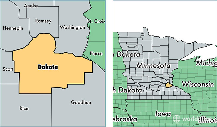
Dakota County is a county equivalent area found in Minnesota, USA. The county government of Dakota is found in the county seat of Hastings.
With a total 1,519.97 sq. km of land and water area, Dakota County, Minnesota is the 1792nd largest county equivalent area in the United States. Home to 412,529 people, Dakota County has a total 161868 households earning 73732 on average per year.
Dakota County, Minnesota - Quick Facts
| FIPS Code | 27037 |
| Area Codes | 651,952,507 |
| Time Zone | CST |
| Major Cities | Saint Paul (population: 147,599), Burnsville (population: 61,279), Lakeville (population: 48,066), Inver Grove Heights (population: 34,450), Farmington (population: 32,937), Hastings (population: 29,988), Rosemount (population: 27,940), South Saint Paul (population: 20,482), Hampton (population: 2,068), Randolph (population: 1,220) |
| Land Area | 159,278 sq miles |
| Water Area | 563 sq miles |
| Household Income | $73,732 |
| Housing Units | 161,868 |
| Median Home Value | $223,300 |
| High School Grads | 95% of population |
| Holders of Bachelors Degrees | 39% of population |
| Retail Spending | $13,231 per capita |
| Food & Accomodation Sales | $614,280 per capita |
| Universities and Colleges | Dakota County Technical College |
This page was last updated on June 30, 2016.