Where is Saint Joseph County, Michigan?
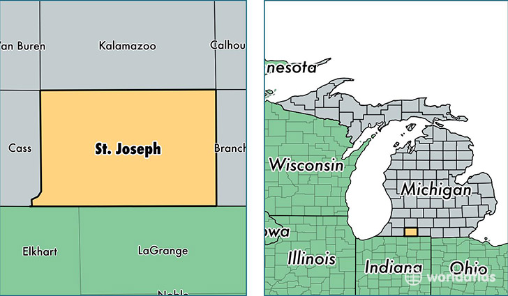
Saint Joseph County is a county equivalent area found in Michigan, USA. The county government of Saint Joseph is found in the county seat of Centreville.
With a total 1,349.47 sq. km of land and water area, Saint Joseph County, Michigan is the 2101st largest county equivalent area in the United States. Home to 60,946 people, Saint Joseph County has a total 27544 households earning 44051 on average per year.
Saint Joseph County, Michigan - Quick Facts
| FIPS Code | 26149 |
| Area Codes | 269 |
| Time Zone | EST |
| Major Cities | Sturgis (population: 19,710), Three Rivers (population: 18,233), White Pigeon (population: 5,588), Constantine (population: 4,852), Colon (population: 3,354), Mendon (population: 3,138), Centreville (population: 3,079), Burr Oak (population: 2,500), Leonidas (population: 716), Nottawa (population: 120) |
| Land Area | 23,531 sq miles |
| Water Area | 501 sq miles |
| Household Income | $44,051 |
| Housing Units | 27,544 |
| Median Home Value | $108,900 |
| High School Grads | 84% of population |
| Holders of Bachelors Degrees | 15% of population |
| Retail Spending | $8,971 per capita |
| Food & Accomodation Sales | $53,768 per capita |
This page was last updated on June 30, 2016.