Where is Lapeer County, Michigan?
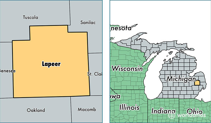
Lapeer County is a county equivalent area found in Michigan, USA. The county government of Lapeer is found in the county seat of Lapeer.
With a total 1,716.76 sq. km of land and water area, Lapeer County, Michigan is the 1532nd largest county equivalent area in the United States. Home to 88,153 people, Lapeer County has a total 36069 households earning 52939 on average per year.
Lapeer County, Michigan - Quick Facts
| FIPS Code | 26087 |
| Area Codes | 810,989 |
| Time Zone | EST |
| Major Cities | Lapeer (population: 30,698), Imlay City (population: 9,310), North Branch (population: 8,414), Metamora (population: 7,960), Columbiaville (population: 6,633), Almont (population: 6,059), Attica (population: 5,672), Dryden (population: 5,018), Otter Lake (population: 2,219), Clifford (population: 1,259) |
| Land Area | 34,036 sq miles |
| Water Area | 644 sq miles |
| Household Income | $52,939 |
| Housing Units | 36,069 |
| Median Home Value | $137,600 |
| High School Grads | 90% of population |
| Holders of Bachelors Degrees | 17% of population |
| Retail Spending | $8,707 per capita |
| Food & Accomodation Sales | $72,559 per capita |
This page was last updated on June 30, 2016.