Where is Calhoun County, Michigan?
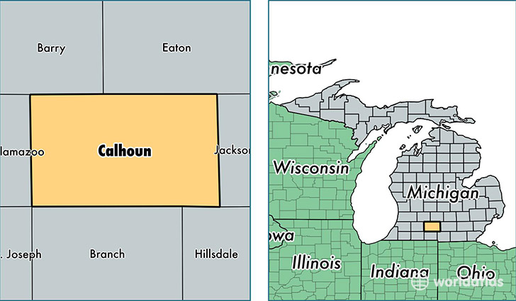
Calhoun County is a county equivalent area found in Michigan, USA. The county government of Calhoun is found in the county seat of Marshall.
With a total 1,860.53 sq. km of land and water area, Calhoun County, Michigan is the 1382nd largest county equivalent area in the United States. Home to 134,878 people, Calhoun County has a total 60561 households earning 42110 on average per year.
Calhoun County, Michigan - Quick Facts
| FIPS Code | 26025 |
| Area Codes | 269,517 |
| Time Zone | EST |
| Major Cities | Battle Creek (population: 91,899), Marshall (population: 14,533), Albion (population: 14,129), Homer (population: 4,805), East Leroy (population: 2,417), Athens (population: 2,266), Tekonsha (population: 2,160), Ceresco (population: 1,746), Burlington (population: 1,593) |
| Land Area | 52,077 sq miles |
| Water Area | 706 sq miles |
| Household Income | $42,110 |
| Housing Units | 60,561 |
| Median Home Value | $98,300 |
| High School Grads | 89% of population |
| Holders of Bachelors Degrees | 20% of population |
| Retail Spending | $11,496 per capita |
| Food & Accomodation Sales | $181,995 per capita |
This page was last updated on June 30, 2016.