Where is Dickinson County, Kansas?
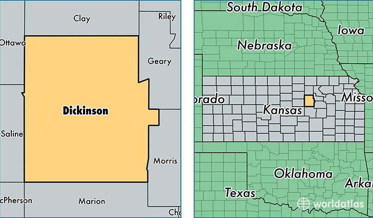
Dickinson County is a county equivalent area found in Kansas, USA. The county government of Dickinson is found in the county seat of Abilene.
With a total 2,206.53 sq. km of land and water area, Dickinson County, Kansas is the 1082nd largest county equivalent area in the United States. Home to 19,394 people, Dickinson County has a total 9091 households earning 48890 on average per year.
Dickinson County, Kansas - Quick Facts
| FIPS Code | 20041 |
| Area Codes | 785 |
| Time Zone | CST |
| Major Cities | Abilene (population: 10,145), Herington (population: 3,347), Chapman (population: 2,472), Solomon (population: 1,805), Enterprise (population: 1,115), Hope (population: 948), Ramona (population: 276), Woodbine (population: 166), Talmage (population: 99) |
| Land Area | 7,488 sq miles |
| Water Area | 847 sq miles |
| Household Income | $48,890 |
| Housing Units | 9,091 |
| Median Home Value | $106,700 |
| High School Grads | 91% of population |
| Holders of Bachelors Degrees | 19% of population |
| Retail Spending | $10,143 per capita |
| Food & Accomodation Sales | $15,310 per capita |
This page was last updated on June 30, 2016.