Where is Woodford County, Illinois?
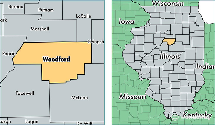
Woodford County is a county equivalent area found in Illinois, USA. The county government of Woodford is found in the county seat of Eureka.
With a total 1,405.44 sq. km of land and water area, Woodford County, Illinois is the 2032nd largest county equivalent area in the United States. Home to 39,187 people, Woodford County has a total 15273 households earning 66639 on average per year.
Woodford County, Illinois - Quick Facts
| FIPS Code | 17203 |
| Area Codes | 309 |
| Time Zone | CST |
| Major Cities | Metamora (population: 12,180), Eureka (population: 6,766), El Paso (population: 4,245), Roanoke (population: 2,810), Minonk (population: 2,562), Washburn (population: 1,881), Goodfield (population: 1,152), Congerville (population: 1,081), Secor (population: 866), Benson (population: 725) |
| Land Area | 15,130 sq miles |
| Water Area | 528 sq miles |
| Household Income | $66,639 |
| Housing Units | 15,273 |
| Median Home Value | $158,600 |
| High School Grads | 93% of population |
| Holders of Bachelors Degrees | 28% of population |
| Retail Spending | $7,329 per capita |
| Food & Accomodation Sales | $26,023 per capita |
This page was last updated on June 30, 2016.