Where is Warren County, Illinois?
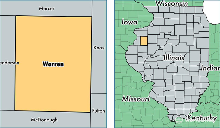
Warren County is a county equivalent area found in Illinois, USA. The county government of Warren is found in the county seat of Monmouth.
With a total 1,406.5 sq. km of land and water area, Warren County, Illinois is the 2028th largest county equivalent area in the United States. Home to 17,874 people, Warren County has a total 7662 households earning 43536 on average per year.
Warren County, Illinois - Quick Facts
| FIPS Code | 17187 |
| Area Codes | 309 |
| Time Zone | CST |
| Major Cities | Monmouth (population: 11,656), Roseville (population: 1,669), Kirkwood (population: 922), Little York (population: 774), Cameron (population: 682), Smithshire (population: 289), Berwick (population: 259), Gerlaw (population: 116) |
| Land Area | 6,901 sq miles |
| Water Area | 542 sq miles |
| Household Income | $43,536 |
| Housing Units | 7,662 |
| Median Home Value | $81,500 |
| High School Grads | 88% of population |
| Holders of Bachelors Degrees | 21% of population |
| Retail Spending | $7,602 per capita |
| Food & Accomodation Sales | $14,251 per capita |
This page was last updated on June 30, 2016.