Where is Montgomery County, Illinois?
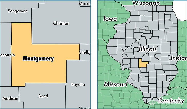
Montgomery County is a county equivalent area found in Illinois, USA. The county government of Montgomery is found in the county seat of Hillsboro.
With a total 1,838.05 sq. km of land and water area, Montgomery County, Illinois is the 1421st largest county equivalent area in the United States. Home to 29,359 people, Montgomery County has a total 13013 households earning 41952 on average per year.
Montgomery County, Illinois - Quick Facts
| FIPS Code | 17135 |
| Area Codes | 217 |
| Time Zone | CST |
| Major Cities | Litchfield (population: 8,787), Hillsboro (population: 8,333), Nokomis (population: 3,404), Raymond (population: 1,483), Coffeen (population: 1,165), Witt (population: 1,133), Farmersville (population: 957), Irving (population: 934), Fillmore (population: 737), Hartsburg (population: 520) |
| Land Area | 11,336 sq miles |
| Water Area | 704 sq miles |
| Household Income | $41,952 |
| Housing Units | 13,013 |
| Median Home Value | $79,500 |
| High School Grads | 85% of population |
| Holders of Bachelors Degrees | 12% of population |
| Retail Spending | $13,479 per capita |
| Food & Accomodation Sales | $36,376 per capita |
| Universities and Colleges | Tri-County Beauty Academy |
This page was last updated on June 30, 2016.