Where is Champaign County, Illinois?
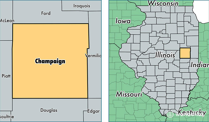
Champaign County is a county equivalent area found in Illinois, USA. The county government of Champaign is found in the county seat of Urbana.
With a total 2,585.83 sq. km of land and water area, Champaign County, Illinois is the 772nd largest county equivalent area in the United States. Home to 207,133 people, Champaign County has a total 88527 households earning 45808 on average per year.
Champaign County, Illinois - Quick Facts
| FIPS Code | 17019 |
| Area Codes | 217 |
| Time Zone | CST |
| Major Cities | Champaign (population: 89,713), Urbana (population: 50,533), Rantoul (population: 14,201), Mahomet (population: 13,347), Savoy (population: 7,191), Saint Joseph (population: 6,318), Tolono (population: 4,228), Fisher (population: 2,388), Homer (population: 1,858), Philo (population: 1,733) |
| Land Area | 79,974 sq miles |
| Water Area | 996 sq miles |
| Household Income | $45,808 |
| Housing Units | 88,527 |
| Median Home Value | $149,500 |
| High School Grads | 94% of population |
| Holders of Bachelors Degrees | 42% of population |
| Retail Spending | $12,163 per capita |
| Food & Accomodation Sales | $374,499 per capita |
| Universities and Colleges | University of Illinois University Administration |
This page was last updated on June 30, 2016.