Where is Washington County, Georgia?
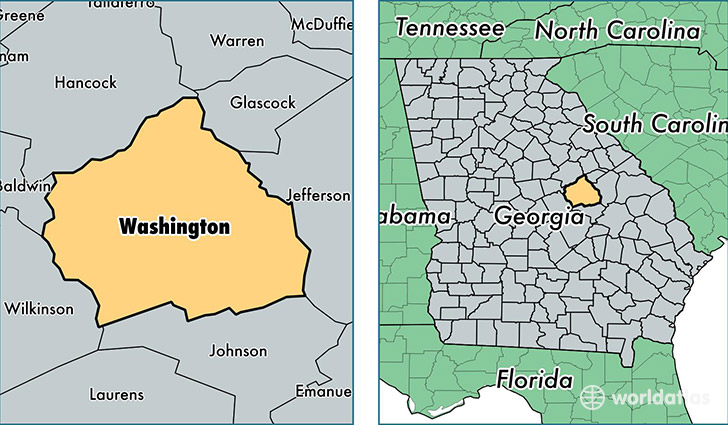
Washington County is a county equivalent area found in Georgia, USA. The county government of Washington is found in the county seat of Sandersville.
With a total 1,772.47 sq. km of land and water area, Washington County, Georgia is the 1481st largest county equivalent area in the United States. Home to 20,635 people, Washington County has a total 8963 households earning 33652 on average per year.
Washington County, Georgia - Quick Facts
| FIPS Code | 13303 |
| Area Codes | 478 |
| Time Zone | EST |
| Major Cities | Sandersville (population: 10,257), Tennille (population: 4,768), Davisboro (population: 2,795), Harrison (population: 1,344), Warthen (population: 1,097), Oconee (population: 218) |
| Land Area | 7,967 sq miles |
| Water Area | 678 sq miles |
| Household Income | $33,652 |
| Housing Units | 8,963 |
| Median Home Value | $82,300 |
| High School Grads | 76% of population |
| Holders of Bachelors Degrees | 11% of population |
| Retail Spending | $10,248 per capita |
| Food & Accomodation Sales | $16,524 per capita |
| Universities and Colleges | Sandersville Technical College |
This page was last updated on June 30, 2016.