Where is Houston County, Georgia?
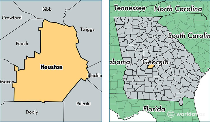
Houston County is a county equivalent area found in Georgia, USA. The county government of Houston is found in the county seat of Perry.
With a total 983.99 sq. km of land and water area, Houston County, Georgia is the 2659th largest county equivalent area in the United States. Home to 149,111 people, Houston County has a total 59707 households earning 54893 on average per year.
Houston County, Georgia offers the following attraction to visitors: Museum of Aviation
Houston County, Georgia - Quick Facts
| FIPS Code | 13153 |
| Area Codes | 478 |
| Time Zone | EST |
| Major Cities | Warner Robins (population: 84,753), Perry (population: 19,781), Bonaire (population: 15,775), Kathleen (population: 11,691), Centerville (population: 6,175), Elko (population: 1,280) |
| Land Area | 57,572 sq miles |
| Water Area | 376 sq miles |
| Household Income | $54,893 |
| Housing Units | 59,707 |
| Median Home Value | $132,900 |
| High School Grads | 89% of population |
| Holders of Bachelors Degrees | 24% of population |
| Retail Spending | $11,610 per capita |
| Food & Accomodation Sales | $206,115 per capita |
| Universities and Colleges | International City Beauty College |
This page was last updated on June 30, 2016.