Where is Fulton County, Georgia?
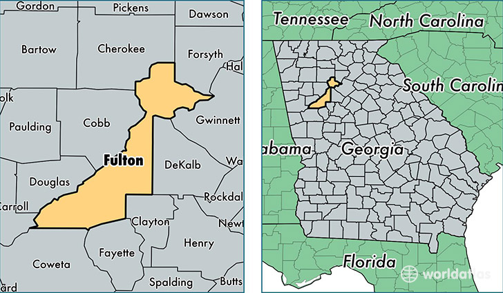
Fulton County is a county equivalent area found in Georgia, USA. The county government of Fulton is found in the county seat of Atlanta.
With a total 1,383.85 sq. km of land and water area, Fulton County, Georgia is the 2059th largest county equivalent area in the United States. Home to 996,319 people, Fulton County has a total 441076 households earning 56857 on average per year.
Fulton County, Georgia offers the following attractions to visitors: Atlanta Cyclorama, Martin Luther King, Jr. National Historic Site, Margaret Mitchell House & Museum, High Museum of Art, Atlanta History Center, World of Coca-Cola, Jimmy Carter Library, Chattahoochee River NRA, Martin Luther King Jr NHS
Fulton is the home to these professional sports teams: Braves (MLB), Falcons (NFL), Atlanta Hawks (NBA)
Fulton County, Georgia - Quick Facts
| FIPS Code | 13121 |
| Area Codes | 770,404 |
| Time Zone | EST |
| Major Cities | Atlanta (population: 651,728), Alpharetta (population: 175,877), Roswell (population: 100,771), Fairburn (population: 31,209), Union City (population: 22,315), Palmetto (population: 9,578) |
| Land Area | 384,681 sq miles |
| Water Area | 527 sq miles |
| Household Income | $56,857 |
| Housing Units | 441,076 |
| Median Home Value | $238,200 |
| High School Grads | 90% of population |
| Holders of Bachelors Degrees | 48% of population |
| Retail Spending | $13,363 per capita |
| Food & Accomodation Sales | $4,133,808 per capita |
| Universities and Colleges | John Marshall Law School-Atlanta, Clark Atlanta University, Bauder College, Brown College of Court Reporting and Medical Transcription |