Where is Weld County, Colorado?
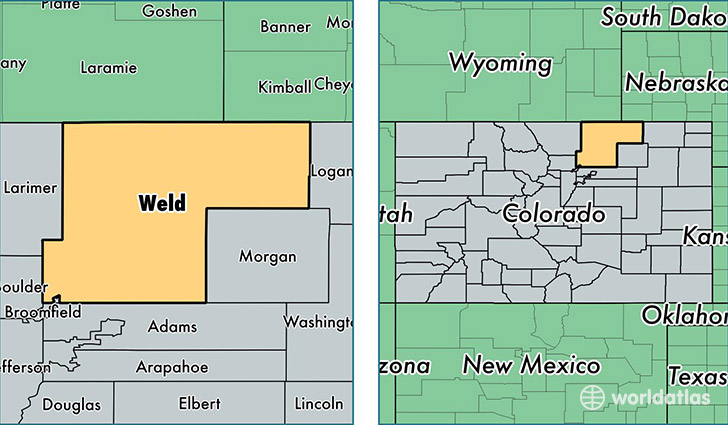
Weld County is a county equivalent area found in Colorado, USA. The county government of Weld is found in the county seat of Greeley.
With a total 10,403.33 sq. km of land and water area, Weld County, Colorado is the 128th largest county equivalent area in the United States. Home to 277,670 people, Weld County has a total 98227 households earning 57180 on average per year.
Weld County, Colorado - Quick Facts
| FIPS Code | 8123 |
| Area Codes | 303,970 |
| Time Zone | MST |
| Major Cities | Greeley (population: 105,823), Windsor (population: 21,545), Erie (population: 21,069), Evans (population: 18,538), Fort Lupton (population: 12,598), Brighton (population: 12,476), Johnstown (population: 11,781), Eaton (population: 7,803), Milliken (population: 6,140), Hudson (population: 4,492) |
| Land Area | 107,209 sq miles |
| Water Area | 3,987 sq miles |
| Household Income | $57,180 |
| Housing Units | 98,227 |
| Median Home Value | $191,500 |
| High School Grads | 86% of population |
| Holders of Bachelors Degrees | 26% of population |
| Retail Spending | $9,272 per capita |
| Food & Accomodation Sales | $217,231 per capita |
| Universities and Colleges | University of Northern Colorado |
This page was last updated on June 30, 2016.