Where is Tehama County, California?
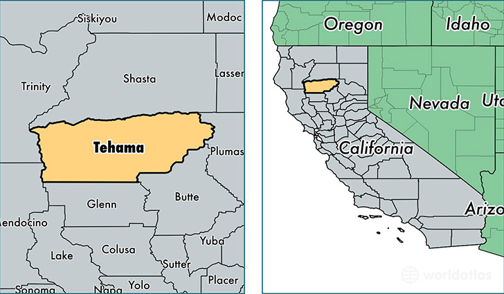
Tehama County is a county equivalent area found in California, USA. The county government of Tehama is found in the county seat of Red Bluff.
With a total 7,671.99 sq. km of land and water area, Tehama County, California is the 189th largest county equivalent area in the United States. Home to 63,067 people, Tehama County has a total 27022 households earning 41924 on average per year.
Tehama County, California - Quick Facts
| FIPS Code | 6103 |
| Area Codes | 530 |
| Time Zone | PST |
| Major Cities | Red Bluff (population: 28,738), Corning (population: 16,082), Cottonwood (population: 15,818), Los Molinos (population: 3,931), Gerber (population: 3,321), Manton (population: 689), Vina (population: 495), Tehama (population: 420), Paynes Creek (population: 368), Paskenta (population: 259) |
| Land Area | 24,350 sq miles |
| Water Area | 2,950 sq miles |
| Household Income | $41,924 |
| Housing Units | 27,022 |
| Median Home Value | $177,100 |
| High School Grads | 81% of population |
| Holders of Bachelors Degrees | 14% of population |
| Retail Spending | $12,103 per capita |
| Food & Accomodation Sales | $56,074 per capita |
This page was last updated on June 30, 2016.