Where is Stanislaus County, California?
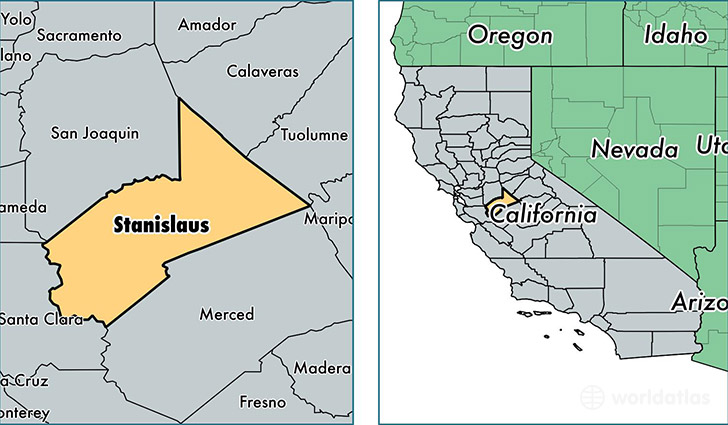
Stanislaus County is a county equivalent area found in California, USA. The county government of Stanislaus is found in the county seat of Modesto.
With a total 3,921.97 sq. km of land and water area, Stanislaus County, California is the 438th largest county equivalent area in the United States. Home to 531,997 people, Stanislaus County has a total 179683 households earning 49297 on average per year.
Stanislaus County, California - Quick Facts
| FIPS Code | 6099 |
| Area Codes | 209 |
| Time Zone | PST |
| Major Cities | Modesto (population: 258,961), Turlock (population: 78,488), Ceres (population: 43,357), Oakdale (population: 32,061), Patterson (population: 25,593), Riverbank (population: 23,500), Salida (population: 13,806), Newman (population: 11,879), Waterford (population: 10,016), Hughson (population: 9,716) |
| Land Area | 205,405 sq miles |
| Water Area | 1,495 sq miles |
| Household Income | $49,297 |
| Housing Units | 179,683 |
| Median Home Value | $172,900 |
| High School Grads | 76% of population |
| Holders of Bachelors Degrees | 16% of population |
| Retail Spending | $11,180 per capita |
| Food & Accomodation Sales | $615,119 per capita |
| Universities and Colleges | California State University-Stanislaus, California Beauty School |
This page was last updated on June 30, 2016.