Where is Sonoma County, California?
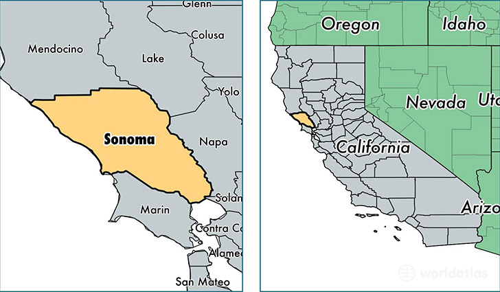
Sonoma County is a county equivalent area found in California, USA. The county government of Sonoma is found in the county seat of Santa Rosa.
With a total 4,578.95 sq. km of land and water area, Sonoma County, California is the 379th largest county equivalent area in the United States. Home to 500,292 people, Sonoma County has a total 205696 households earning 63356 on average per year.
Sonoma County, California - Quick Facts
| FIPS Code | 6097 |
| Area Codes | 707 |
| Time Zone | PST |
| Major Cities | Santa Rosa (population: 213,289), Petaluma (population: 71,374), Rohnert Park (population: 43,879), Sonoma (population: 35,975), Windsor (population: 29,000), Sebastopol (population: 28,719), Healdsburg (population: 17,128), Cloverdale (population: 11,015), Cotati (population: 8,609), Forestville (population: 5,507) |
| Land Area | 193,164 sq miles |
| Water Area | 1,576 sq miles |
| Household Income | $63,356 |
| Housing Units | 205,696 |
| Median Home Value | $407,400 |
| High School Grads | 87% of population |
| Holders of Bachelors Degrees | 32% of population |
| Retail Spending | $13,929 per capita |
| Food & Accomodation Sales | $1,005,419 per capita |
| Universities and Colleges | Empire College School of Business |
This page was last updated on June 30, 2016.