Where is Sacramento County, California?
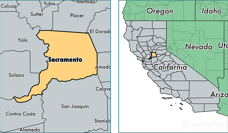
Sacramento County is a county equivalent area found in California, USA. The county government of Sacramento is found in the county seat of Sacramento.
With a total 2,575.26 sq. km of land and water area, Sacramento County, California is the 776th largest county equivalent area in the United States. Home to 1,482,026 people, Sacramento County has a total 558807 households earning 55064 on average per year.
Sacramento County, California offers the following attraction to visitors: California State Indian Museum
Sacramento is the home to this professional sports team: Sacramento Kings (NBA)
Sacramento County, California - Quick Facts
| FIPS Code | 6067 |
| Area Codes | 916,209 |
| Time Zone | PST |
| Major Cities | Sacramento (population: 774,284), Elk Grove (population: 166,236), Citrus Heights (population: 85,819), Folsom (population: 73,774), Rancho Cordova (population: 62,062), Carmichael (population: 60,730), Antelope (population: 46,042), Fair Oaks (population: 41,083), Orangevale (population: 32,254), North Highlands (population: 31,392) |
| Land Area | 572,213 sq miles |
| Water Area | 965 sq miles |
| Household Income | $55,064 |
| Housing Units | 558,807 |
| Median Home Value | $234,200 |
| High School Grads | 86% of population |
| Holders of Bachelors Degrees | 28% of population |
| Retail Spending | $11,357 per capita |
| Food & Accomodation Sales | $2,252,889 per capita |
| Universities and Colleges | Sacramento City College, American River College |
This page was last updated on June 30, 2016.