District of Columbia
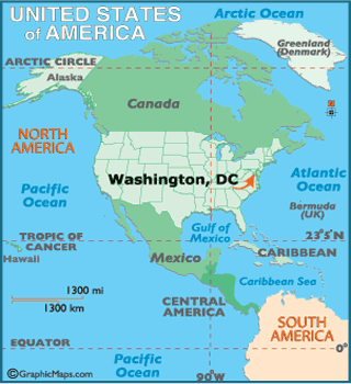
- Land Area:
( land) 61 sq miles
( water) 7 sq miles
( TOTAL) 68 sq miles - Land Area: (all u.s. states)
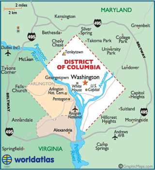
- Bordering States: (2) Maryland and Virginia
- Geographic Center: Near the corner of 4th and L Streets, NW
- Highest Point: Tenleytown, at 410 ft.
- Lowest Point: Potomac River, 1 ft.
- Latitude and Longitude
- Mean Elevation: 89 ft.
- Relative Location
